
Loading article…

Palayad | |
|---|---|
town | |
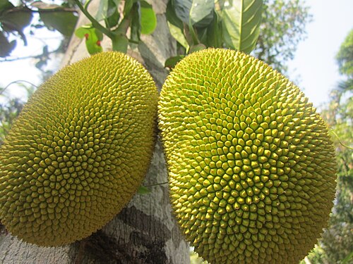 Jackfruit from Palayad | |
  Palayad Location in Kerala, India Show map of Kerala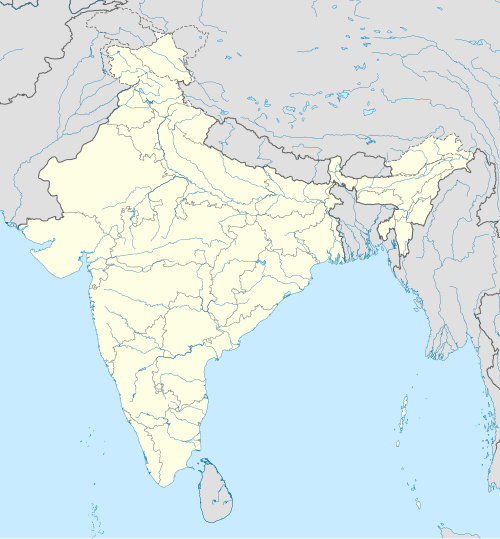 Palayad Palayad (India) Show map of India | |
| Coordinates: 11°47′30″N75°28′5″E / 11.79167°N 75.46806°E / 11.79167; 75.46806 | |
| Country |  India India |
| State | Kerala |
| District | Kannur |
| Population | |
• Total | 16,462 |
| Languages | |
| • Official | Malayalam, English |
| Time zone | UTC+5:30 (IST) |
| PIN | 670661 |
| Telephone code | 91 (0)490 |
| ISO 3166 code | IN-KL |
| Vehicle registration | KL 58- |
| Nearest city | Thalassery |
| Sex ratio | 1000:1040 ♂/♀ |
| Literacy | 83% |
| Lok Sabha constituency | Kannur |
| Vidhan Sabha constituency | Dharmadom |
Palayad is a census town in Thalassery Taluk in the Indianstate of Kerala.
As of 2001 India census,[1] Palayad had a population of 16,462. Males constitute 49% of the population and females 51%. Palayad has an average literacy rate of 83%, higher than the national average of 59.5%: male literacy is 87%, and female literacy is 79%. In Palayad, 10% of the population is under 6 years of age.
As part of the National Education Policy (1986), District Institutes for Education and Training (DIETs) were established in selected districts all over India in 1986, along with Kannur DIET in this region. Government Brennen College, founded in 1851, is one of the oldest educational institutions in the region. There is also a Kannur University center located here, which offers postgraduate courses.
Important Educational Institutions in and around Palayad are
University of Calicut maintained its English and Anthropology departments at Palayad for a long time. When the University of Calicut was bifurcated to form a new Kannur University, Palayad came under the jurisdidiction of Kannur University.
国道はダルマダムの町を通っています。北側からはマンガロール、ゴア、ムンバイへ、南側からはコーチン、ティルヴァナンタプラムへアクセスできます。最寄りの鉄道駅はマンガロール・パラッカド線上のダルマダム駅とタラセリー駅です。インターネットで事前予約すれば、インド各地へ列車で行くことができます。カンヌール、マンガロール、カリカットには空港があります。いずれも国際空港ですが、直行便は中東諸国への便のみです。