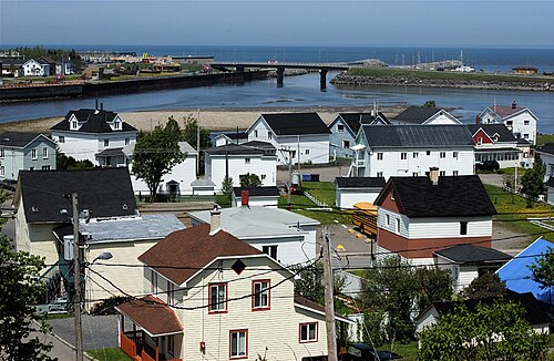
Subdivisions There are 12 subdivisions within the RCM:[ 2]
Unorganized territory (1)
Demographics Matane
Population Canada census – La Matanie community profile
Transportation
Access routes Highways and numbered routes that run through the municipality, including external routes that start or finish at the county border:[ 10]
References ↑ "Banque de noms de lieux du Québec : Reference number 416974". toponymie.gouv.qc.ca (in French). Commission de toponymie du Québec . 1 2 3 "Répertoire des municipalités : Geographic code 080". www.quebec.ca (in French). Gouvernement du Québec. 1 2 3 "La Matanie, Municipalité régionale de comté (MRC) Census Profile, 2021 Census of Population". www12.statcan.gc.ca . Statistics Canada. 8 February 2017. Retrieved August 28, 2024 . ↑ "Modification aux municipalités du Québec"(PDF) . Modifications Aux Municipalités du Québec . Institut de la statistique du Québec . March 2013. ISSN 1715-6408. ↑ "2021 Community Profiles". 2021 Canadian census . Retrieved 2023-10-19 . ↑ "2016 Community Profiles". 2016 Canadian census . Retrieved 2019-12-18 . ↑ "2011 Community Profiles". 2011 Canadian census . Retrieved 2014-01-27 . 1 2 1996 , 2001 , 2006 , 2011 census1 2 "Census Profile, 2016 Census: Matane, Municipalité régionale de comté [ Census division] , Quebec". Statistics Canada. 8 February 2017. Retrieved December 18, 2019 . ↑ Official Transport Quebec Road Map
External links Official website